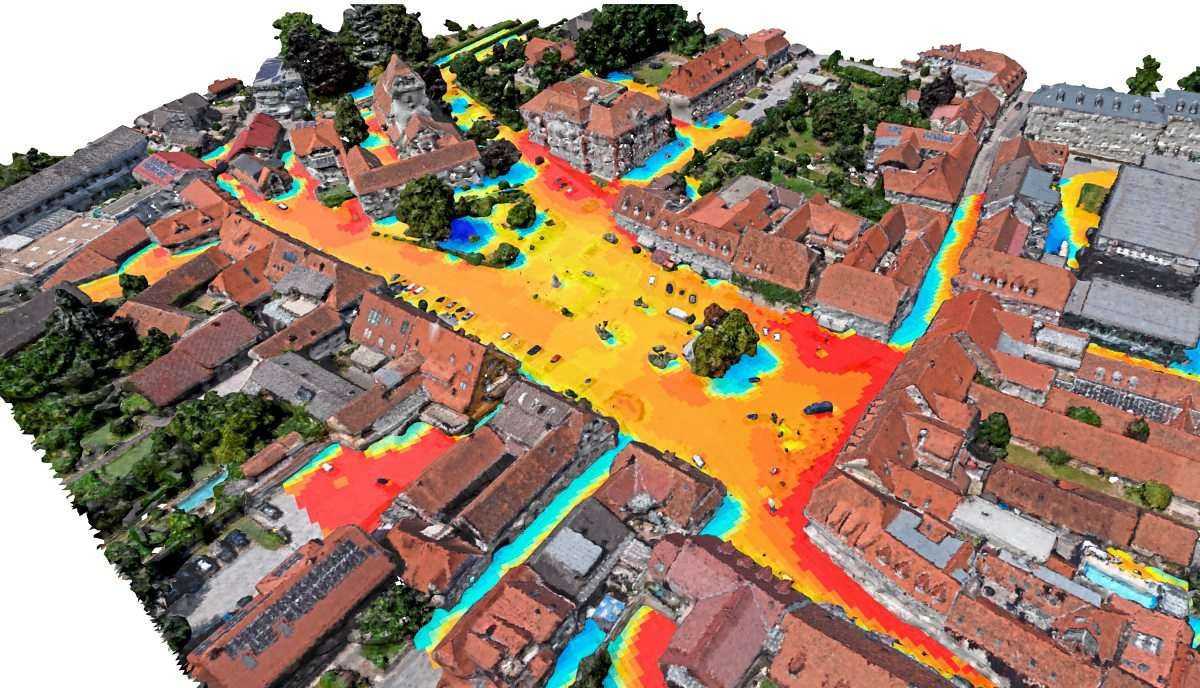
Pinpointing heat islands
Drones equipped with thermographic and multispectral cameras are being to detect and analyze the urban heat island effect in an Austrian city. The drones capture thermal radiation and solar reflections, creating detailed 3-D models of the city's heat distribution at resolution of 0.5 meters through a process involving photogrammetric techniques and Monte Carlo ray tracing. The survey can cover a small city in about an hour, and the data helps identify heat hotspots, enabling targeted mitigation through urban greening projects. Future drone flights will assess the effectiveness of implemented measures in reducing perceived heat stress, demonstrating the potential for data-driven urban climate management.
Inexpensive, detailed aerial surveying of urban heat islands will allow cities to rapidly develop, deploy, and evaluate targeted mitigation measures. By accelerating the design and testing cycle for such interventions — from years to months or weeks — cities might achieve rapid cooling gains with less cost and higher success rates.


