Mapping secondary circuits
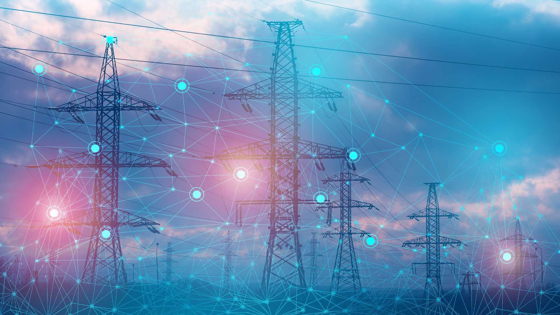
ndary distribution lines are the feeder cables that extend out from the main electric power distribution lines. Electric power utilities face enormous challenges maintaining these networks, which encompass millions of miles of power lines. Climate change is increasing both the risks of network damage and the consequences of damage to customers and landscapes due to wildfire danger.
Startup Tetra Tech uses computer vision techniques to extract power line features from aerial LiDAR laser scans and combines it with utilities' own 2-D GIS data. This creates a 3-D model of secondary distribution lines that can be used for service restoration work, preventive maintenance, and risk assessment and reduction.
Tetra Tech's innovation demonstrates how AI can be used to extract valuable information from aerial surveys, which increases the resilience of electric power networks to damage from climate change-induced severe weather. This kind of technology may grant us improved preventative maintenance in the near future, leading to a safer and more reliable electricity grid.


