Instant 3-D city maps
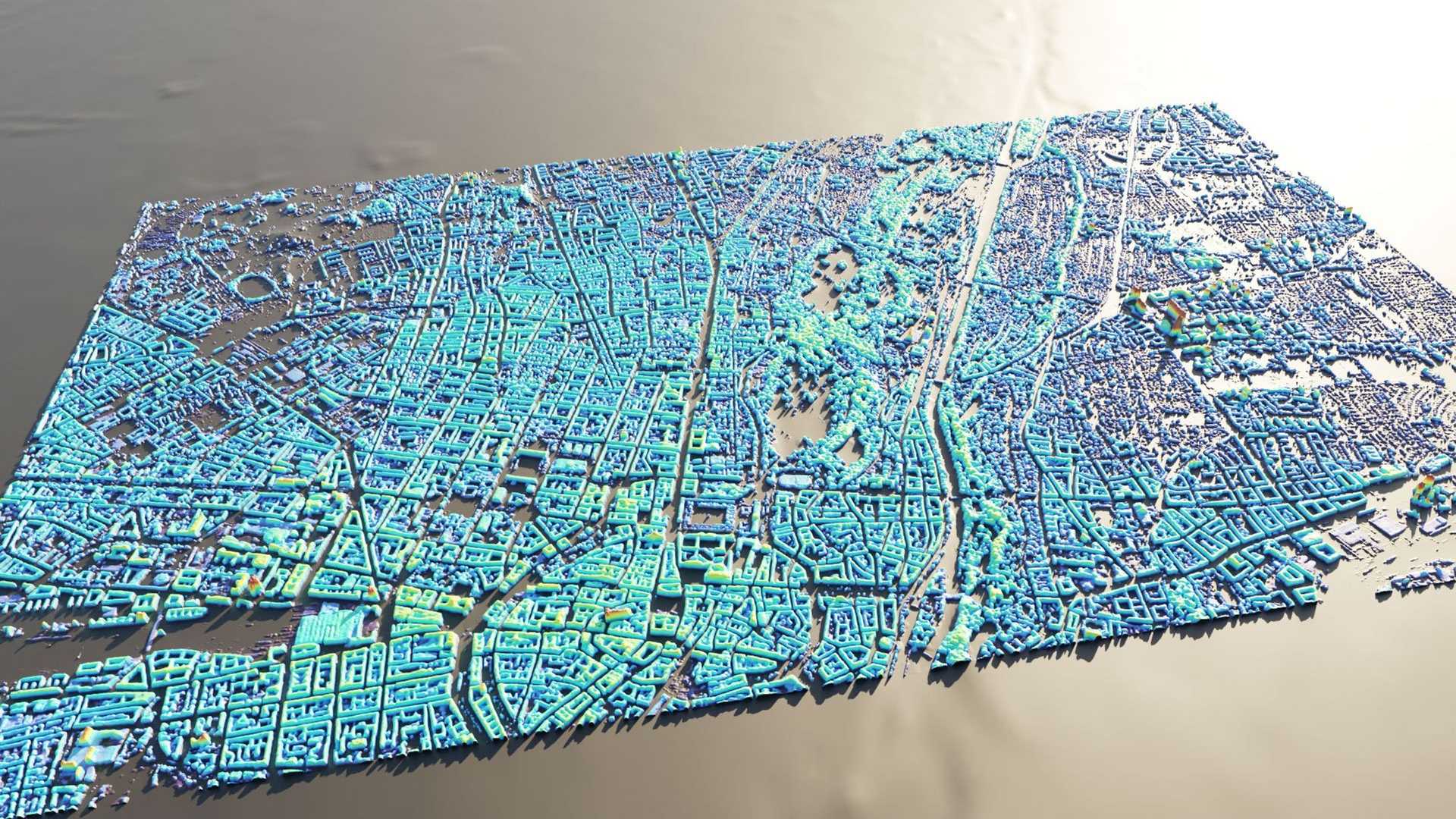
SAR has many advantages over conventional satellite imaging. Unlike optical technology, synthetic aperture radar (SAR) works in darkness and can penetrate cloud cover. SAR satellites and constellations are also able to capture scenes from different directions and view angles, which has been useful for producing 3-D models of surface features. Deep learning techniques, however, now allow for the reconstruction of detailed urban height maps from a single SAR image. SAR2Height, for instance, was developed at the University of the Bundeswehr Munich can produce results accurate to within 3 meters.
Although this approach faces challenges with skyscrapers and data gaps in developing regions, this innovation represents a major step forward in rapid updating of digital twins for post-disaster damage assessment as well as expanding coverage of basemaps in digital twins in cities without the ability to maintain 3-D building models.


