Ground truth at scale
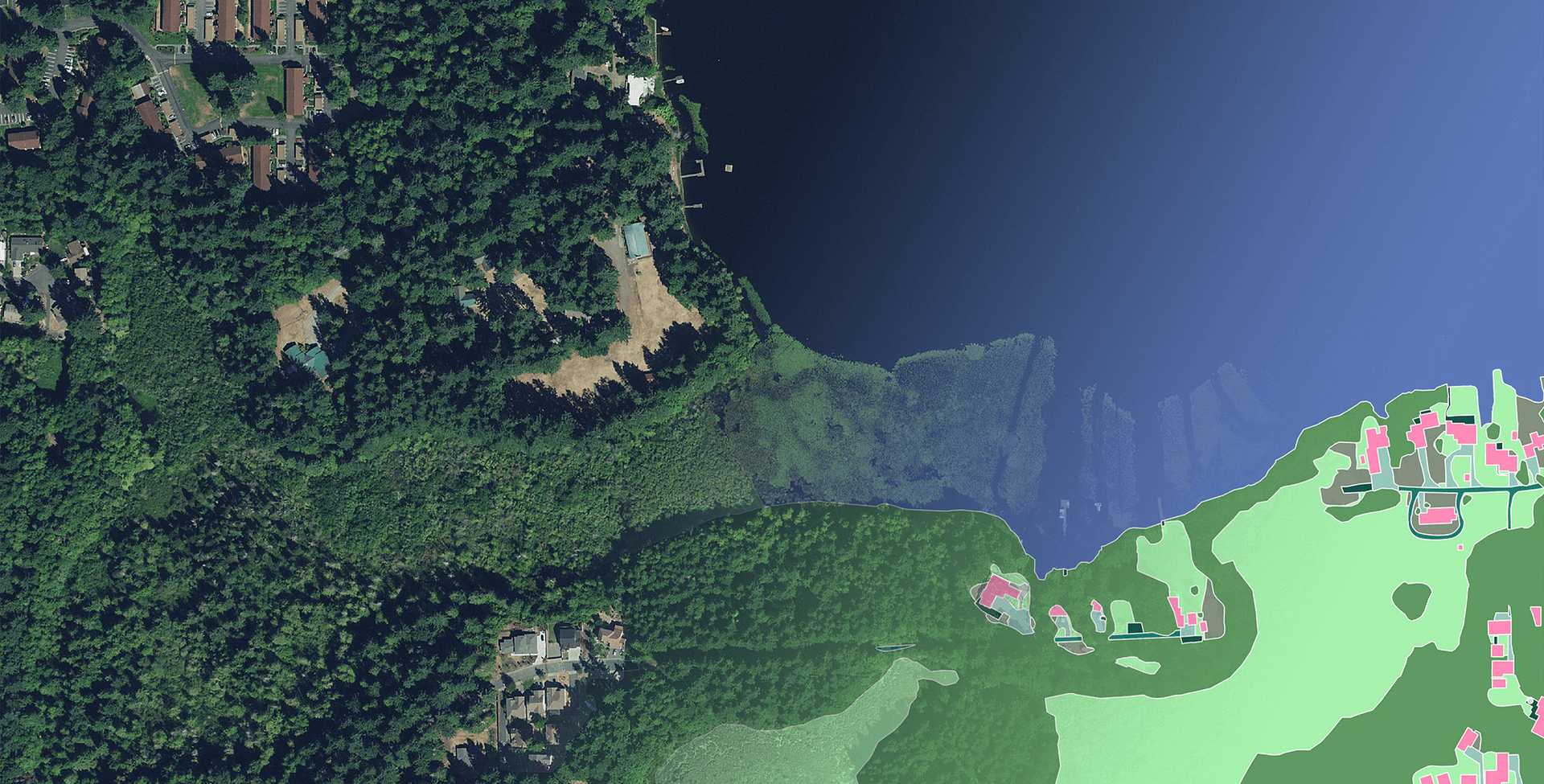
Toronto-based startup Ecopia, recently named one of Canada's fastest-growing companies, is assembling a large-scale digital twin of the built environment. The company uses AI to convert high-resolution geospatial imagery into accurate, up-to-date, 3-D vector maps of buildings, transportation infrastructure networks and other surface features. The company has produced national building models for Australia (2016) and the contiguous U.S. (2018). Its most recent project, funded by the Canadian government, will produce the first comprehensive digital map of buildings, roads, and forests for all of sub-Saharan Africa. The company partners with remote sensing companies like Maxar Technologies and AirBus to obtain the satellite imagery used in its automated analysis.
As platforms that can extract high-quality vector data with the accuracy of a GIS professional become more widespread, they will reduce a significant barrier to the development of digital twins and applications for cities everywhere, improving their ability to model long-term adaptations as well as manage crisis responses.


