urbanvision3d
Extreme-resolution 3-D models
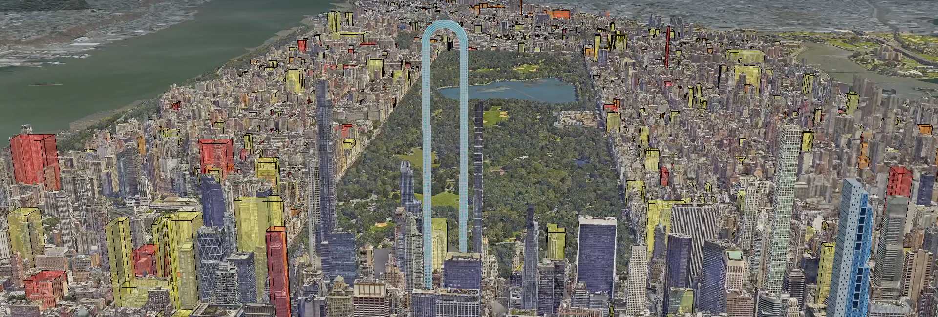
Urban Vision 3-D creates highly detailed 3-D digital maps of cities, stitching together thousands of aerial photos to make a virtual city model with a higher resolution than Google Maps (3 cm per pixel vs. 7+ cm).
This detailed mapping is particularly valuable for city planners and policymakers to visualize and plan for climate change impacts. The platform can overlay flood risk data, heat island effects, and potential storm surge areas onto the 3-D city model. This allows for more accurate assessment of vulnerable areas and infrastructure. For real estate developers, the tool can help identify areas for green infrastructure, plan evacuation routes, and design buildings that withstand climate threats.


