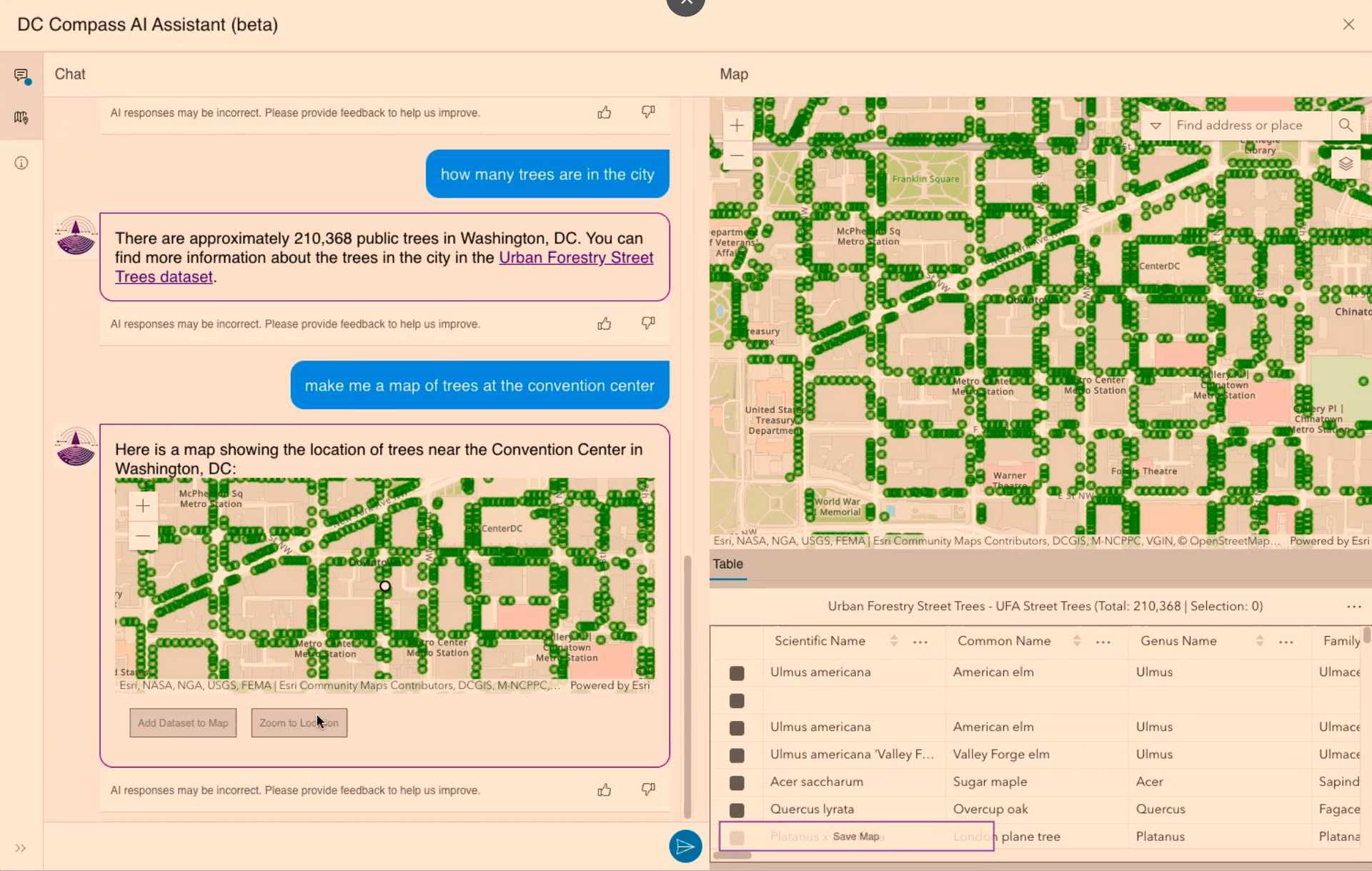
Chatting with maps
LLMs are starting to break down long-standing barriers to digital cartography and GIS. For instance, Barcelona-based Aino provides an AI-powered tools for creating interactive maps. Using a chat-style interface, users can perform sophisticated geospatial analyses such as accessibility, demand, POI density with simple natural language text prompts. Drawing on open data cataloged in OpenStreetMap, and allowing users to query spatially using natural language, the tool's conversational interface automates the laborious process of working with geospatial data.
As tools for chatting with maps and GIS engines become more widespread, they will rapidly make the use of spatial analysis in climate adaptation and resilience efforts more widespread, increasing their effectiveness and reach. Organizations that previously planned and made operational decisions on tabular or textual information will be able to visualize and analyze these on maps reflecting real-world resources, challenges, and terrain—and most importantly, to update these views and reports based on the latest information and needs.


