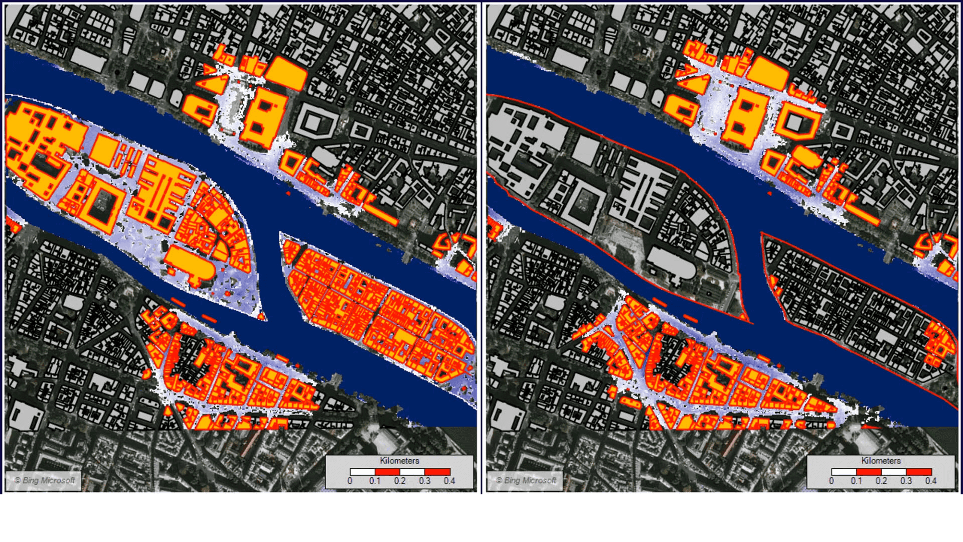
Bidirectional digital twins for early warning
So far, the proactive "digital twinning" of urban systems has focused more on sensing and visualization, rather than control—truly bidirectional twins are rare. However, a review of the literature on urban digital twins, 3-D city models, and early warning systems highlights the potential for integrating real-time sensor data with 3-D city models to enable the prediction and management of natural hazards like floods and landslides. In this scenario, sensors continuously collect data on environmental parameters such as rainfall, soil moisture, and water levels. This information feeds into the digital twin, which uses advanced algorithms to simulate potential hazard scenarios and predict impacts. This capability not only improves early warning systems but also aids in timely decision-making, enabling effective disaster response and mitigation measures.
As bidirectional architectures and use cases for urban digital twins becomes more widespread, it will allow for dynamic monitoring and management of urban infrastructure. However, as the study points out, further research is needed to address current gaps in data integration and real-time processing. The increasing risks and potential benefits of early warning applications will drive investment and innovation in bidirectional approaches to urban digital twinning.


