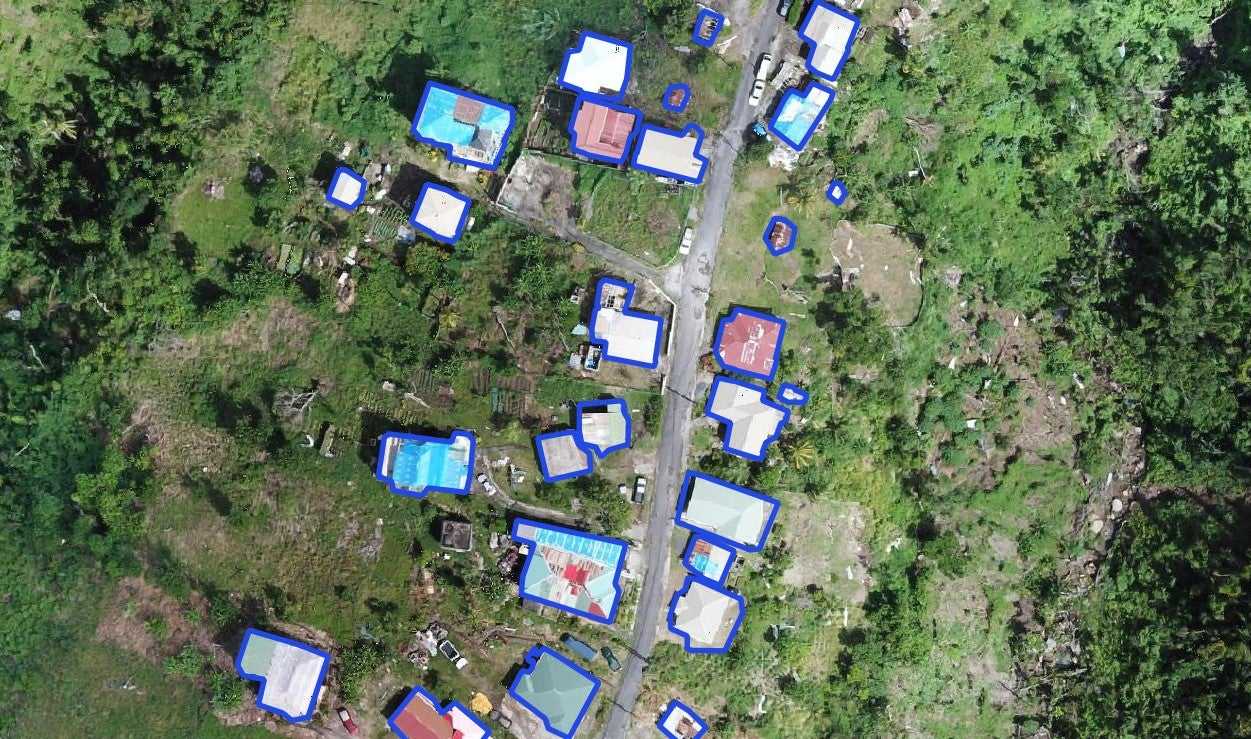
Aerial damage assessment
Efforts to reduce the impact of extreme weather events require accurate and up-to-date maps of buildings and their characteristics. The World Bank is training local government staff and stakeholders on two Caribbean island nations to use drones for disaster damage assessment and risk reduction. The teams learn to operate survey drones for inexpensive and frequent collection of very high-resolution aerial images; use AI tools that can extract building characteristics such as building size, roof material, and damage levels; and manage the large-scale geospatial datasets produced.
These tools and skills enhance the ability of governments and communities to identify and retrofit damaged structures, relocate vulnerable citizens, and construct resilient homes. However, taking advantage of these technologies requires strengthening local capacity. To address this, we need to empower stakeholders by building skills and raising awareness about these systems' capabilities, requirements, and limitations.


